A longstanding IDRC grantee combines satellite observations with old-fashioned grassroots data gathering to measure the impact of Angola’s rapidly growing slums on the environment. Since 2002, when decades of civil conflict ended, Angola has struggled to rebuild. Its planners are hampered, however, by a shortage of reliable data about their own country’s population and environment. During the long conflict, Angola’s cities mushroomed when the rural economy collapsed and many parts of the countryside became unsafe. An influx of poor people settled in the urban districts they could afford — that is, in slums that are vulnerable to flooding or erosion, and that lack
basic services and economic opportunities. Poverty, in other words, has a spatial aspect and a circular effect. The poor are likely to settle in environmentally sensitive areas where their presence is likely to exacerbate environmental damage, thus aggravating their poverty. If Angolan policymakers were to take effective measures to tackle urban destitution and environmental degradation, they needed a clear picture of the geographic distribution of slum dwellers and of their social and environmental circumstances.
Climate-adaptive Planning for Angola’s Coastal Cities
In the coastal cities of Angola, the intensity and variability of climatic events such as rainstorms and floods have more than doubled over the last 60 years. For much of that period, conflict in the interior provinces was driving people to the relative safety of coastal cities – namely Cabinda, Luanda and the twin cities of Benguela/Lobito – where most settled in marginal and environmentally fragile land at the urban periphery. The growth of these settlements has resulted in the occupation of high risk, low cost land in river basins and swampy coastal locations. Cholera, malaria and other diseases are increasingly serious problems, linked to a lack of safe water and adequate sanitation. Increasing climate variability has compounded those problems, with rainfall tending to come in intense storms, causing flooding. Following floods in 2006, Luanda suffered a cholera epidemic with 35,000 cases reported.
Informal settlements in urban coastal zones and adaptation to climatic variation
Many new urban migrants in developing countries and other poor families have settled in some of the most environmentally risky parts of cities.Many of these cities are located on or near the coast. These locations place these cities at greater risk from current and projected climate hazards. While the configuration of these settlements is indeed a key factor, the choice of location for housing of poor families or new migrants to the city is usually based on a complex set of economic and social choices (or possibly lack of choices). Slums are not always spontaneous and are often not the results of invasions or occupations. Many slum dwellers have purchased the land that they have built their houses on and have documents to prove it. Land use planning can substantially reduce the vulnerability of communities to water-based natural disasters if supported by reliable flood data that can be provided by water managers. Resilience to floods can be achieved by building infrastructure such as floodwalls; communities can be engaged in participatory planning approaches focused on dealing with increasing climatic and weather variability.
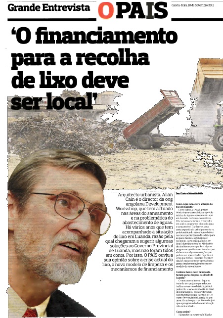
O Financiamento para Recolha de Lixo deve ser Local
A Development Workshop está envolvida na problemática de águas e saneamento em Luanda ao longo dos últimos 20 anos. Ganhamos uma certa experiência principalmente na problemática do saneamento básico nas áreas peri-urbanas da cidade para as quais fizemos alguns projectos-piloto. Elaboramos algumas soluções que podem ser aproveitadas hoje face a crise que temos agora. Há umas recomendações para a implementacao do novo modelo de saneamento para a cidade de Luanda
5th Interim Report – Water Resource Management Under Changing Climate in Angolan Coastal Cities – May 2015
The project team continued to use of remote sensing products that are now available in nearreal- time from Internet sources. The project team has observed that there are still some difficulties in using these remote sensing methods to correlate accurately with heavy rainfall events in coastal Angola. However during the current reporting period these methods were used by the project team in providing advice on flood risks to the Ministries and Municipalities of Lobito and Benguela.